
Costa Bacelo
Framework
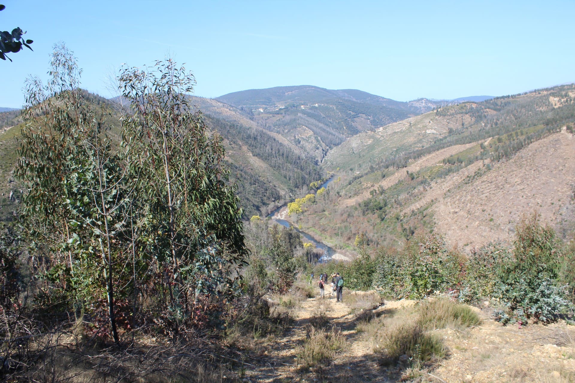
Costa Bacelo is located in the valley of the Paiva river (40º54’18,42’’N 8º06’51,01’’W) including the mouth of the river Paivô, tributary of the Paiva river, in the council of Arouca. The area includes 23.9 ha between hills of 300-600m of altitude, with a gradient of approximately 15%, and it is under the Natura 2000 network, SIC Rio Paiva. The management of the property has been transferred to MONTIS through an agreement with Altri Florestal (proprietary company) for a period of ten years, starting from May 2015.
The property can be horizontally crossed through a rural path. The soil in this property is poorer, drier and less fertile. In its lower part we find accumulation areas, with a more fertile soil and less water availability.
Flora
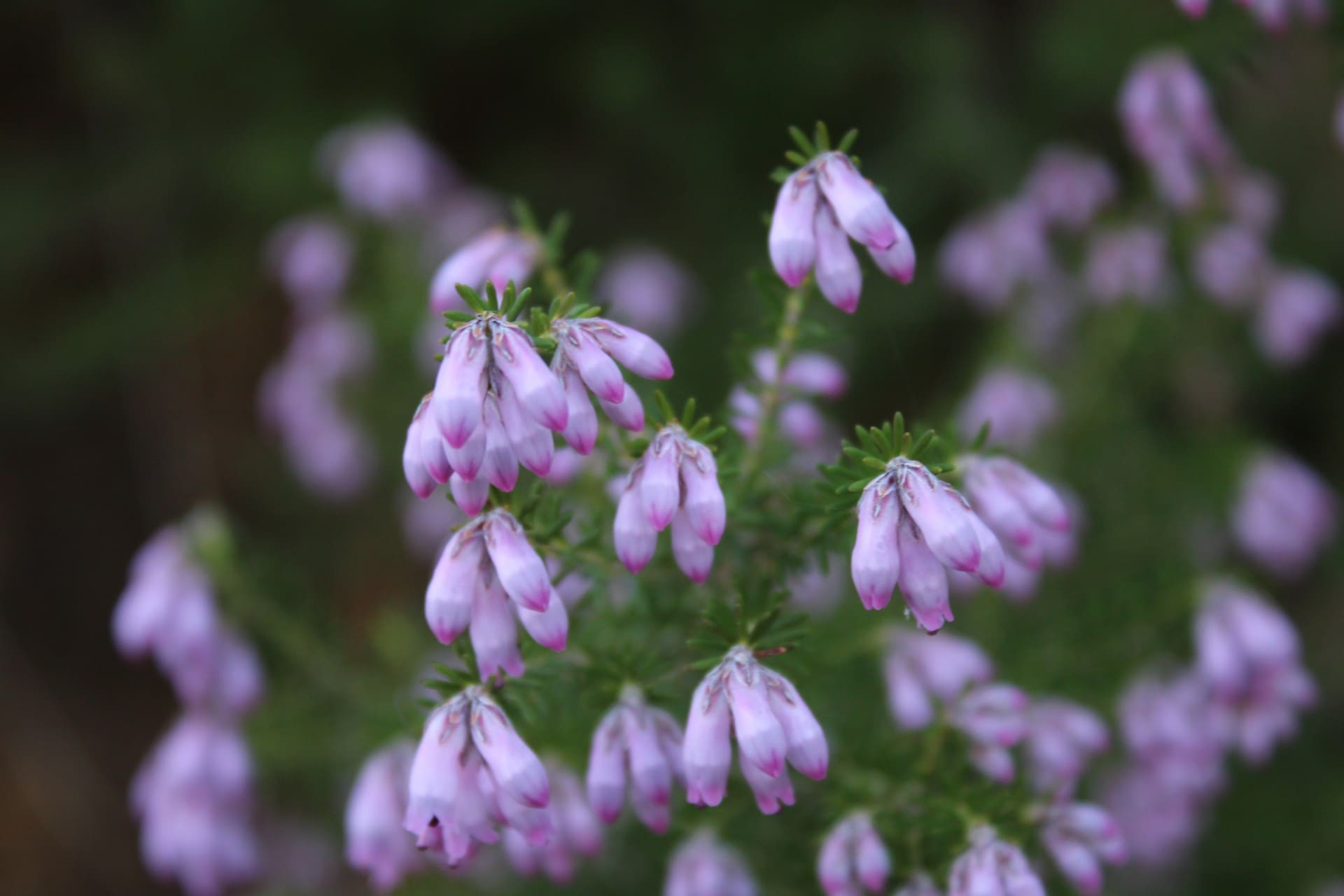
Recurring vegetation
- Common oak (Quercus robur)
- Mimosa (Acacia dealbata)
- Strawberry tree (Arbutus unedo)
- Hakea (Hakea sericeae)
Sporadic vegetation
- Willow (Salix sp.)
- Chestnut (Castanea sativa)
- Gorse (Ulex europaeus)
- American oak (Quercus rubra)
- Banana tree (Platanus sp.)
Recurring fauna
- Capped heron (Ardea Cinerea)
- Asiatic-hornet (Vespa velutina)
- Iberian frog (Rana iberica)
- Green frog (Rana perezi)
- Foxy emperor butterfly (Charaxes jasius)
- Cormorant (Phalacrocorax carbo)
- Kingfisher (Alcedo atthis)
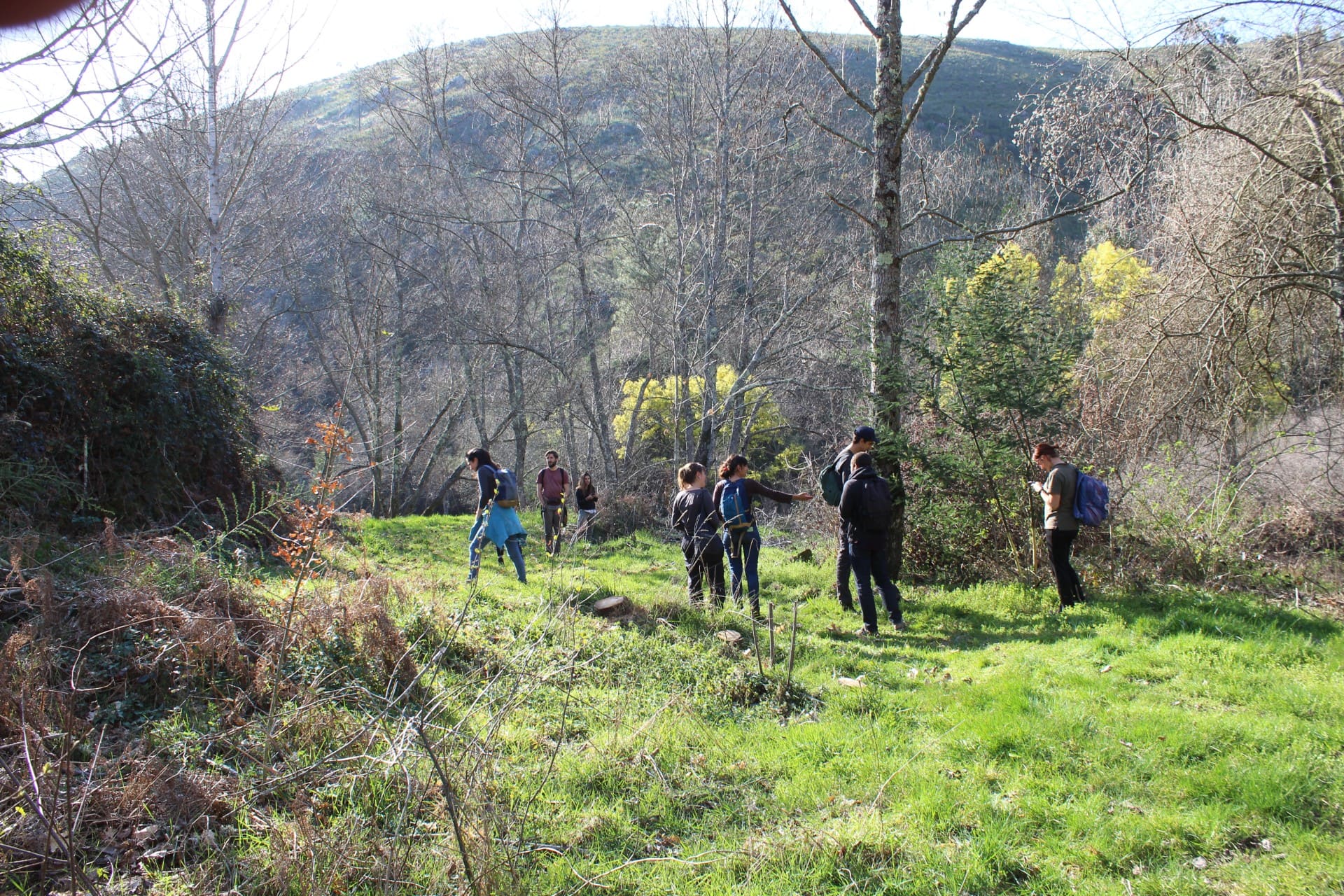
Management model
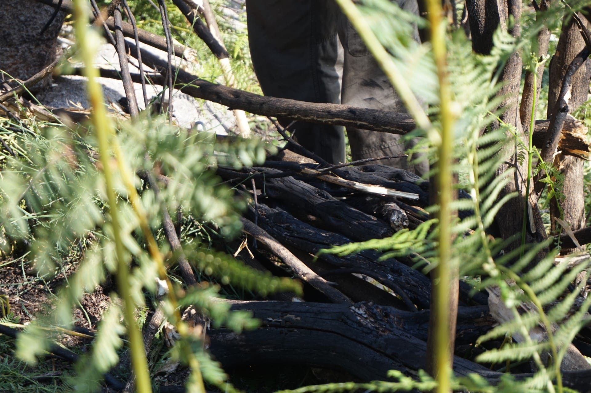
The property burnt in a summer 2016 fire. The riparian gallery was only partially affected by the fire and presents certain concentrations of acacias which need to be tackled. On its slopes, more affected by the fire and in which the principle issue is the presence of hakeas, there is a considerable strawberry tree regeneration. The two main waterlines that traverse the vertical slope feature riparian vegetation which are steadily growing and responded well to the fire.
The main objectives of the management of this property are:
- To support natural processes
- To control invasive species
- To increase the value of natural assets
- To promote the growth of native vegetation
- To ensure conditions for public use
 Gallery

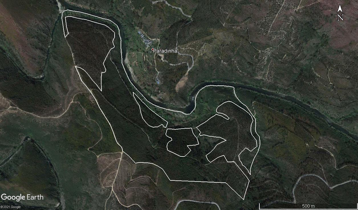
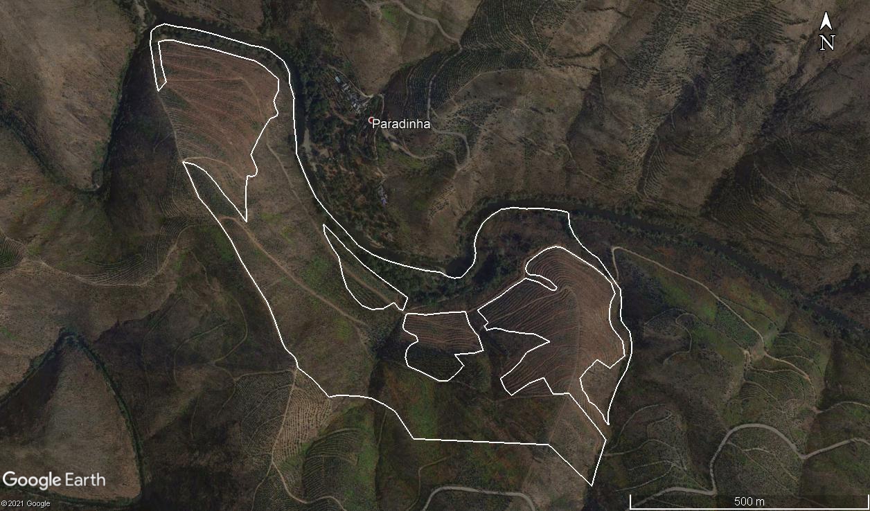
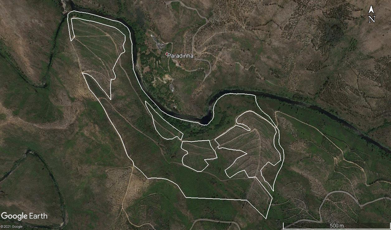
Evolution of the property through aerial photography
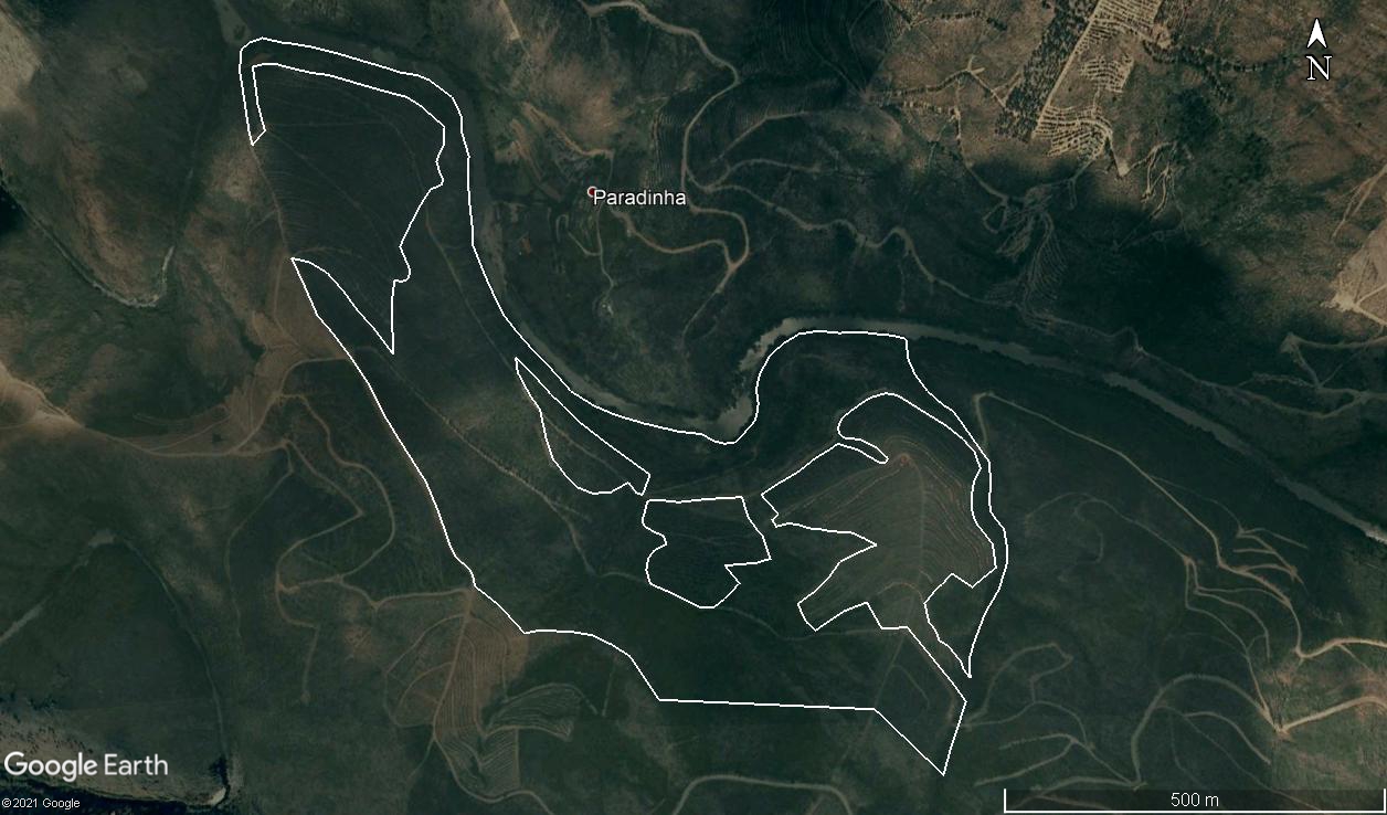
2006

2013
2015
2017
2018
